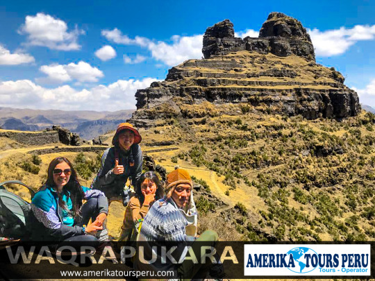
Waqrapukara is a new tourist attraction that remains almost unknown until today. The tour is suitable for those seeking a spirituality that is drowned in the sea of commercial tours. Waqrapukara is a pre-Inca archaeological complex located in the Acomayo province within the Cusco region, near the Apurímac River. The main construction is located on platforms, squares and a so-called «Bosque de Piedras». From its height of 4,140 meters above sea level, it offers spectacular views of the Apurímac River and the Andes.
WAQRAPUKARA TOUR ITINERARY
Its name comes from Quechua, "waqra" means horn, while "pukara" means fortress. Therefore, the meaning of the name translates as a "horned fortress" given by its typical form. However, the locals also called it "Llamapukara", as they claim that the shape does not represent horns, but ears of a lama.
It was built by the pre-Inca Qanchis culture in the period called "Auqaruna" (1,500 BC - 1,000 BC). During this period, the complex was a city called "Llaqta Pukara" and home to a leader of the Yankees. It also served as an astronomical observatory and sanctuary for the god "Teqci Pachakamaq Wiraqocha" (a creator of all created things). Subsequently, it was conquered by the Incas, who have molded the buildings to geography during the reign of Wayna Qhapaq. Then it became a first-class Inca sanctuary that symbolizes an immense political and religious power that has not yet been confused. In 2017, the complex was declared Cultural Heritage of the Nation by the Ministry of Culture of Peru.
Waqrapukara Archaeological Complex. Cultural Heritage of the Nation of 2017.
It was built by the Qinchas and later conquered by the Incas. The building is located on platforms, squares and a stone forest, it would be an Inca sanctuary. Waqrapukara has a privileged view of the Apurímac River.
Waqrapucara details
Maximum Altitude: 4,140 meters / 13,580 feet
Minimum Altitude: 3,096 meters / 10,157 feet
Duration of the walk: 6 hours
Trekking distance: 15 km / 9.3 miles
Difficulty: Moderate
Weather: Cold
Waqrapukara is the archaeological monument located in Acos, Acomayo province in Cuzco, which has been declared a National Cultural Heritage by the Vice Minister of Cultural Property. This Inca monument is located on the slopes of Mount Kenter, has a privileged view of the Apurímac River and has two groups of buildings.
The first group is located at the top, in the middle of a rocky dam, where you can see two enclosures separated by a wide central space. The enclosures have halls, ornamental niches and doors with double jambs; its architecture seems to be similar to that of other ceremonial buildings.
The second enclosure is located at the bottom, and has 8 platforms 153 meters long and 1.80 meters high, which correspond to the topography of the terrain.
Some inhabitants of Acos also call it Llamapukara; and although its origins go back to pre-Inca times, its foundations were built by the Q’anchi, and the Inca construction was built during the sovereign period of the Tahuantinsuyo Wayna Qhapaq. MORE CUSCO TOURS.
The mountain of the seven colors (VINICUNCA) is one of the most majestic attractions present on the way to the apu AUSANGATE, it is said to be a place that demonstrates a new opportunity for everyone who visits, this belief has its beginning in the saying "if you want to see the rainbow you have to face the storm" which teaches us that there is always a reward for our efforts as well as a new opportunity.
It is listed by NATIONAL GEOGRAPHIC magazine as one of the 100 places that you must visit before you die, do not miss the opportunity to be part of this wonderful place because in the end life is a wonderful adventure that begins when one really wants.
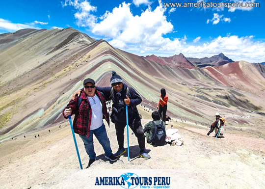
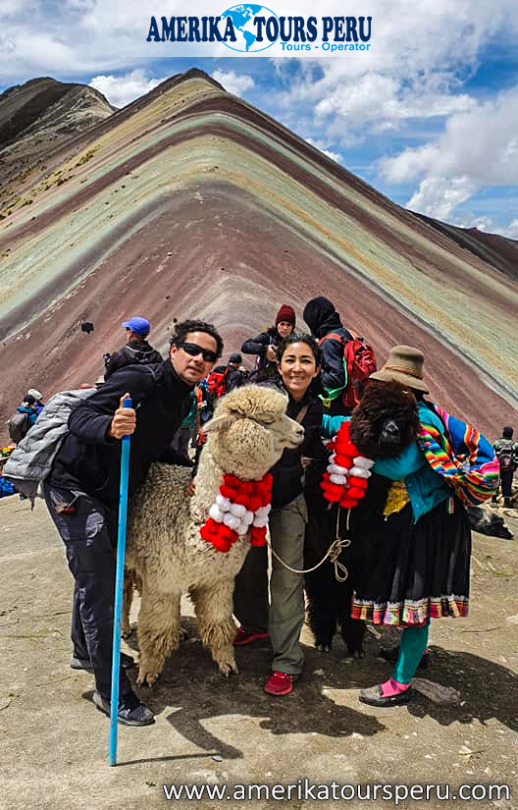
The Mountain of Colors, is also known as Rainbow Mountain, Cerro Colorado, or famously in English as Rainbow Mountain has become in recent years one of the main tourist attractions of Cusco and Peru.
This is a geographical accident belonging to the snowy Ausangate in the Vilcanota mountain range, it is the fifth mountain in Peru, it is more than 100km away from the imperial city of Cusco and it has its highest point at about 6300 masl. approx.
Its coloration is natural and this due to the large amount of sedimentary stones in erosion, what makes it so beautiful and impressive is how these stones are formed to give it the appearance of a rainbow (7 colors). The red, purple, pink, green yellow colors stand out among others.
Vinicunca (winicunca) means "mountain of colors" in Quechua (simi rune).
How to get to Rainbow Mountain
The 7 Colors Mountain is located in a small town called Pitumarca, Quipicanchis Quispicanchi province, Cusco.
To get there you must first board a car from the city of Cusco, bound for Pitumarca (approx 02 km), after 03 hrs of travel you have to take a gauge route you must reach the rural community of pampa Chiri. Then you must walk 5km towards the mountain (you can also use horses). It is recommended to bring snacks, water and energizers.
Already in this part of the road you will be able to appreciate the beauties of the valley as small lagoons, streams among others, with the passing of a short time, you will be able to appreciate how everything is changing, the colors of the Rainbow Mountain appear, thus generating a very surreal area.
Finally they will reach approx. 5033 masl which is the top of the Mountain of Seven Colors from where you can take photos and videos.
Without a doubt this is a question that many would like to clarify, thanks to the great consultation of our travelers we decided to carry out an investigation to keep them much more informed:
In order to understand how the colorful mountain was formed we must first understand how mountains are formed, for this we resort to geology and orogeny and thus have a much clearer and of course scientific idea.
MORE INFORMATION OF RAINBOW MOUNTAIN HIKE
The mountain ranges of the hand of their mountains are formed by collisions or collisions of different tectonic plates as these cannot advance horizontally when impacting they do it vertically forming mountain ranges and mountains and other geographic features, but this formation not only involves agents Endogenous like these collisions, but also exogenous like the vast majority of meteorological phenomena (rain, hail, snow, winds) these make the mountains maintain over time and have their particular pyramidal shape.
But Vinicunca's formation is much older than we think.
For this we go back in time and go back approximately 24 million years ago, back then, different layers of rock sediments such as sandstones, halites, gravels, limestone ranging from ocher, green, yellow and white along with others minerals, were compacted one on top of the other to form different layers as plasticine masses, one on top of another according to the weight of each layer; the heaviest at the bottom and the others above them.
As time passed with the movement and collision of the tectonic plates, new mountains were born, as we explained previously, these pressed colored masses rose while maintaining these typical colors.
However, the meteorological factors were in charge of preserving them and above all of keeping it in total splendor and of course respecting its typical colors equally.
And not only that, it also influences the altitude since this place is located at approximately 5000 meters above sea level. it makes the vegetation scarce to the point that almost nothing grows, if there were vegetation this great colorful wonder could not be visible.
So we add to this that not only endogenous and exogenous factors but also geographic factors such as altitude intervene.
All this is a set of curious mixtures typical of our nature because only it could give us curious landscapes that often escape from our own imagination.